Details of record no: 60817
Mitracarpus hirtus
Three blocks of information are displayed on this page, namely: (a) details of the record; (b) the record point plotted using Google Maps and (c) any images attached to the record. Please scroll down to see the various items.
Record details:
| Date: | 3 Nov 2012 |
| Recorder(s): | BT Wursten |
| Collector(s): | |
| Determiner(s): | BT Wursten |
| Confirmer(s): | |
| Herbarium: | |
| Habitat: | Disturbed roadside verge |
| Location: | Yangambi, DRC |
| Location code(s): | |
| Outing code: | |
| Planted code: | Not planted |
| Country: | Democratic Republic of Congo |
| Quarter Degree Square: | |
| Grid reference: | |
| FZ divisions: | |
| Altitude (metres): | 443 |
| Notes: | |
| Latitude, Longitude: | 0.761409, 24.502638 |
| Location Accuracy Code: | 7 |
Map of species record
Maps only available to authorised usersImages:
Image: 1
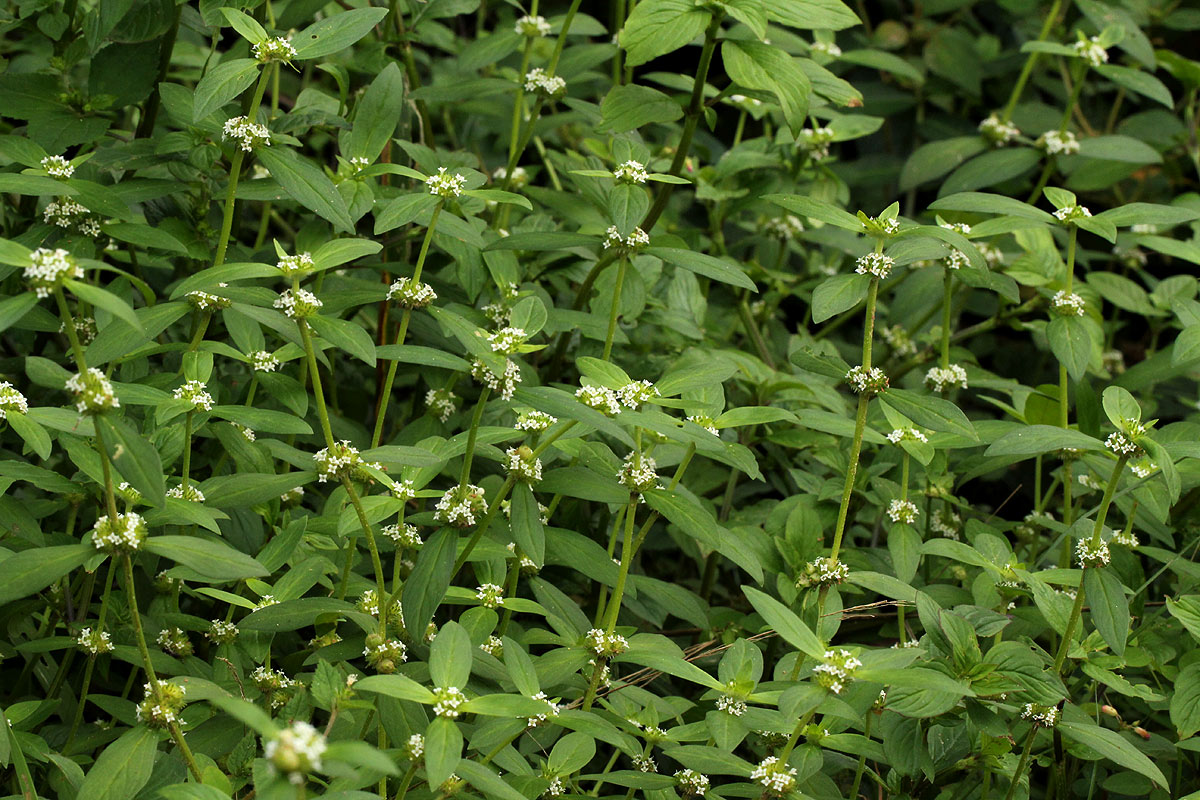
| Species id: | 189990 |
| Image id: | 1 |
| Image number: | 18688 |
| Photographer: | BT Wursten |
Image: 2
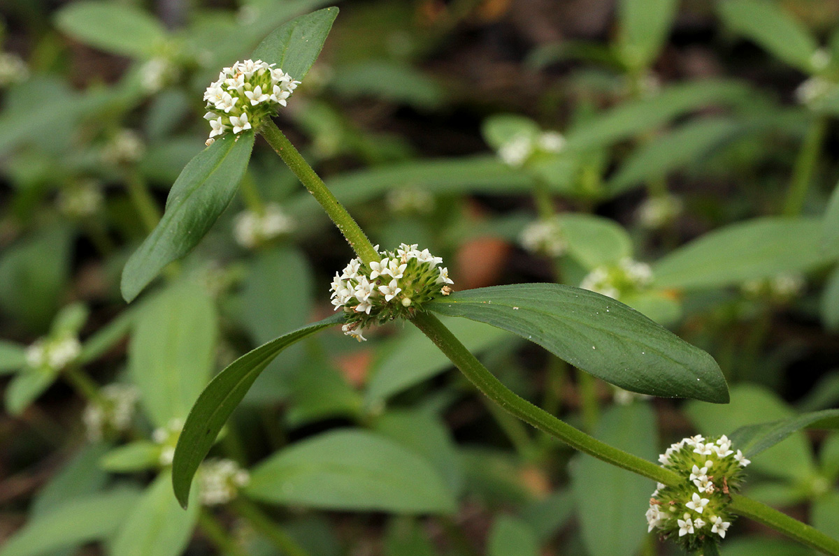
| Species id: | 189990 |
| Image id: | 2 |
| Image number: | 18689 |
| Photographer: | BT Wursten |
Image: 3
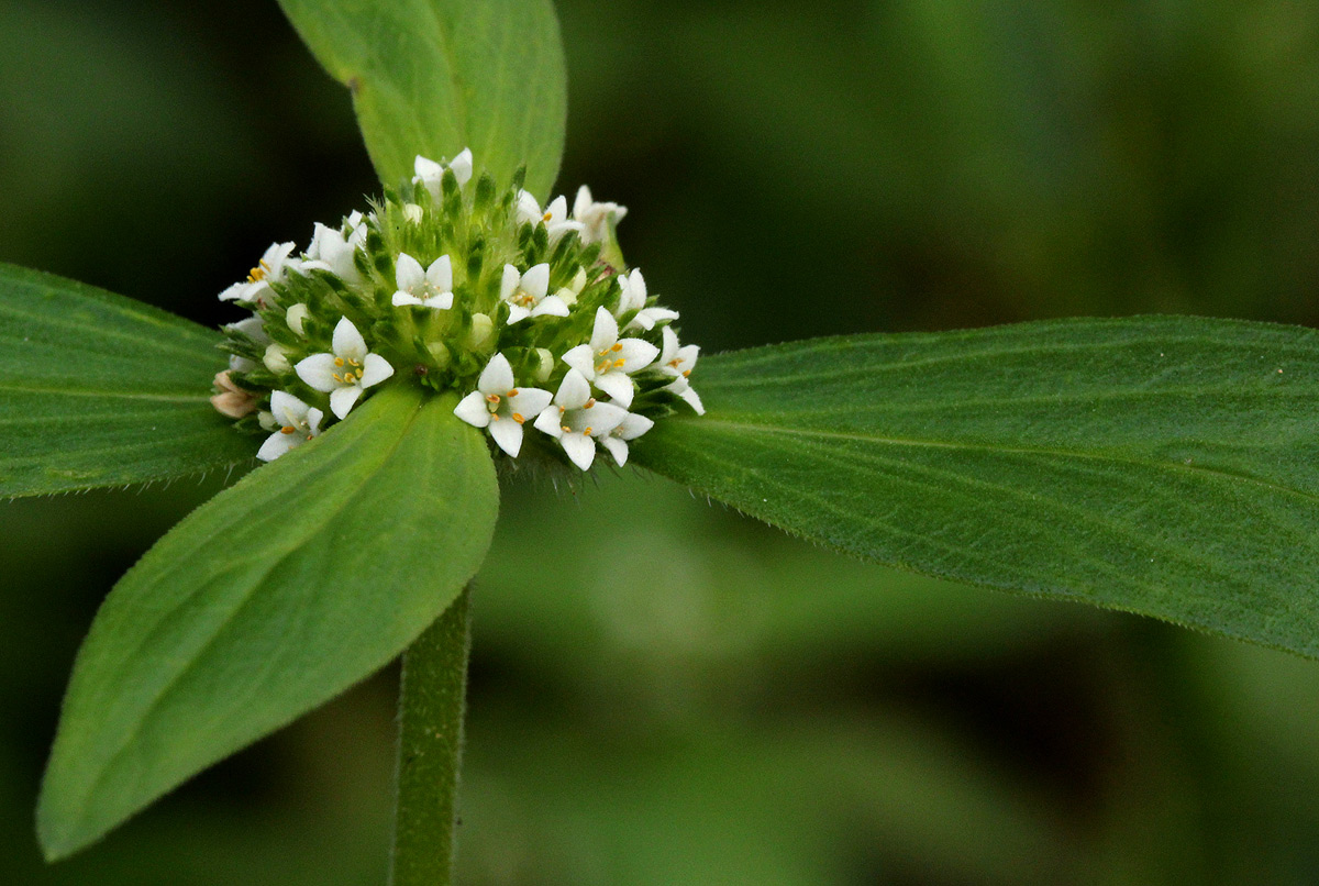
| Species id: | 189990 |
| Image id: | 3 |
| Image number: | 18690 |
| Photographer: | BT Wursten |